Northwest Territories · Remote access
Kraus Hot Springs
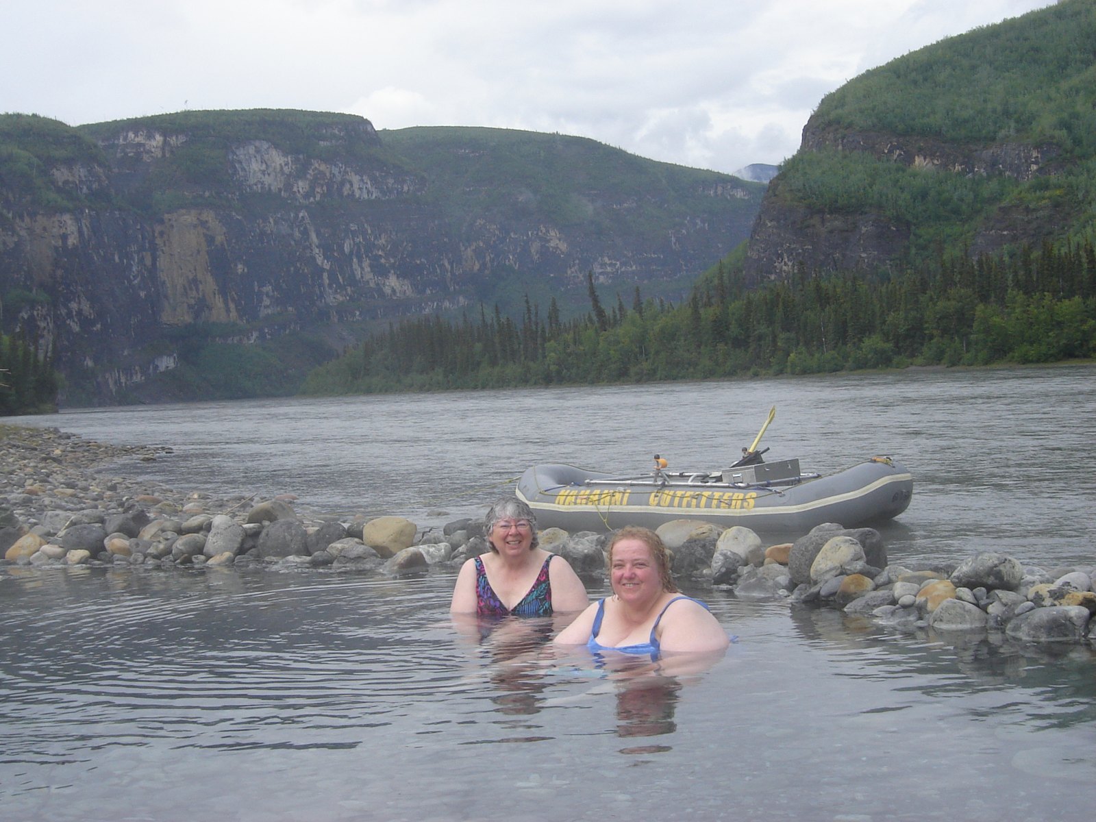
Kraus lies beside the South Nahanni River, placing warm spring water within one of Canada’s great wilderness river landscapes. Parks Canada describes it as a paddling-access experience: a stop within a larger journey rather than a road-access attraction.
Historical source coordinate; not a trailhead. Accuracy and datum have not been independently verified. Historical water readings describe source samples, not safe soaking temperatures.
A soak at the end of First Canyon
Kraus is a free, wild spring on the south bank of the South Nahanni River in Nahanni National Park Reserve. It marks roughly where First Canyon ends, after about 30 kilometres of the deepest river canyon in the park.
Access is by multi-day river trip or floatplane only. For most people who soak here, Kraus is a scheduled stop on a Nahanni paddle rather than a destination in itself — which is why it appears in so many canoe trip reports and so few road guides.
Why there is no tufa mound here
There are two thermal sources at Kraus, and the chemistry is the interesting part. The water carries the dissolved minerals that would normally build tufa — the same process that produced the mounds upstream at Rabbitkettle — but the hydrogen sulphide concentration is high enough that the sulphur dissolves tufa before it can be deposited.
The result is sulphur-rich water with notable chloride, sodium and sulphate, and the characteristic smell that goes with it. Two springs on the same river, one building the largest travertine mound in the country and the other chemically prevented from building anything.
Mary and Gus Kraus
The springs carry the name of Mary and Gus Kraus, who lived at the site from 1940 until 1971. Theirs is one of the better-known homesteading stories of the Nahanni, and the clearing where they lived is still part of what visitors see.
The wider land is Dene homeland. The Deh Cho First Nations have lived in the Nahanni and Mackenzie country for something on the order of 10,000 years, and the park is a reserve pending the settlement of Indigenous land claims.
Opening hours & season
No verified visitor timetable
Access depends on land-manager permission, closures and local conditions. No published timetable should be interpreted as 24-hour access.
All times are local to the spring. Checked 2026-10-01; this is not a live opening-status display. Closure notices override regular hours.
Our take
Most appealing as a meaningful pause during a well-planned Nahanni expedition. The setting is exceptional, but the logistics make it unsuitable as a casual standalone day trip.
Editorial assessment based on published information. No firsthand visit or customer score is implied.
Before you go
Sources & record notes
Geoscience BC’s 2016 compilation · 1 historical sampling record · Source name: Kraus (Clausen Creek). References recorded in the dataset: NWT 2010.
Sources used for this guide
- Parks Canada — Nahanni National Park Reserve, geology and geomorphology
- Wikipedia — Nahanni National Park Reserve
- Paddling.com — Kraus Hotsprings, South Nahanni River
- Spectacular NWT — places in the Nahanni
Written from the published sources above. Operator hours, access rules and closures change; the official link is authoritative.