British Columbia · Remote access
Meager Creek Hot Springs
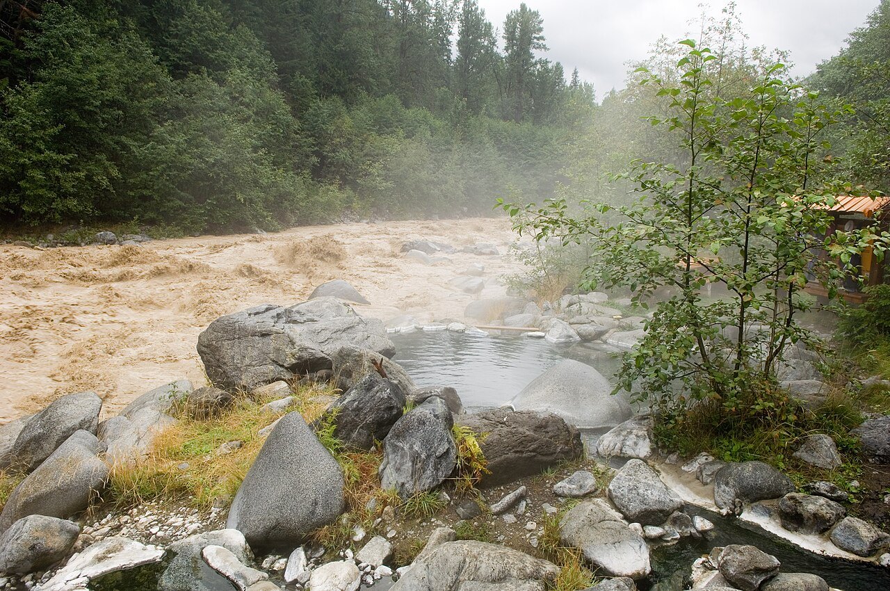
A hot-spring system within the geologically active Mount Meager landscape. The national compilation documents multiple historical measurements from this source area.
Historical source coordinate; not a trailhead. Accuracy and datum have not been independently verified. Historical water readings describe source samples, not safe soaking temperatures.
Closed indefinitely, and not casually so
Meager Creek Hot Springs are closed indefinitely, and the Meager Creek Forest Service Road is closed indefinitely as well. There is no legal vehicle or land access to the springs. A gate at roughly the 24 km mark near Perkins Creek is closed year-round to all public access, both for public safety and to limit environmental damage from unauthorised use. That gate is the end of the public forest service road.
This is not a seasonal closure or a technicality. Reports of people reaching the pools circulate, but doing so means passing a safety closure on ground that has already failed catastrophically.
What 2010 did
A major landslide in 2010 released mud and debris from Devastator Peak and destroyed the access infrastructure, including a bridge to the hot springs that had been built new in 2009 at a cost of about a million dollars. Access roads were wiped out in several places.
The campsite at the 36 km mark is also closed indefinitely. What used to be a straightforward drive-and-soak is now simply gone.
One of the least stable valleys in the province
The Meager Creek valley is among the most unstable in British Columbia and has produced repeated dangerous landslides, typically during heavy rain or shortly after a severe deluge. The massif remains geologically active.
If the area ever reopens, confirming current road status with the forest service before travelling will still be the sensible first step. Provincial road-condition pages for the Sea to Sky district are the place to check.
Opening hours & season
No verified visitor timetable
Access depends on land-manager permission, closures and local conditions. No published timetable should be interpreted as 24-hour access.
All times are local to the spring. Checked 2026-10-01; this is not a live opening-status display. Closure notices override regular hours.
Our take
The geological setting is part of its fascination, but unstable terrain and uncertain access make it inappropriate to present as an easy hiking destination.
Editorial assessment based on published information. No firsthand visit or customer score is implied.
Before you go
Sources & record notes
Geoscience BC’s 2016 compilation · 11 historical sampling records · Source name: Meager Creek. References recorded in the dataset: N.S-B.G 1974; Souther 1976; Hammerstrom 1977; Grasby 2000.
Source notes: Main vent; 52a; 52b; 52c; 01; 03; 05; 06 (GSC1); 17 (GSC1); 18
Sources used for this guide
- Province of BC — forest service road conditions, Sea to Sky district
- britishcolumbia.com — Meager Creek Hot Springs
- Wikipedia — Meager Creek
- Squamish Chief — geologist warns of alpine landslides in BC
Written from the published sources above. Operator hours, access rules and closures change; the official link is authoritative.